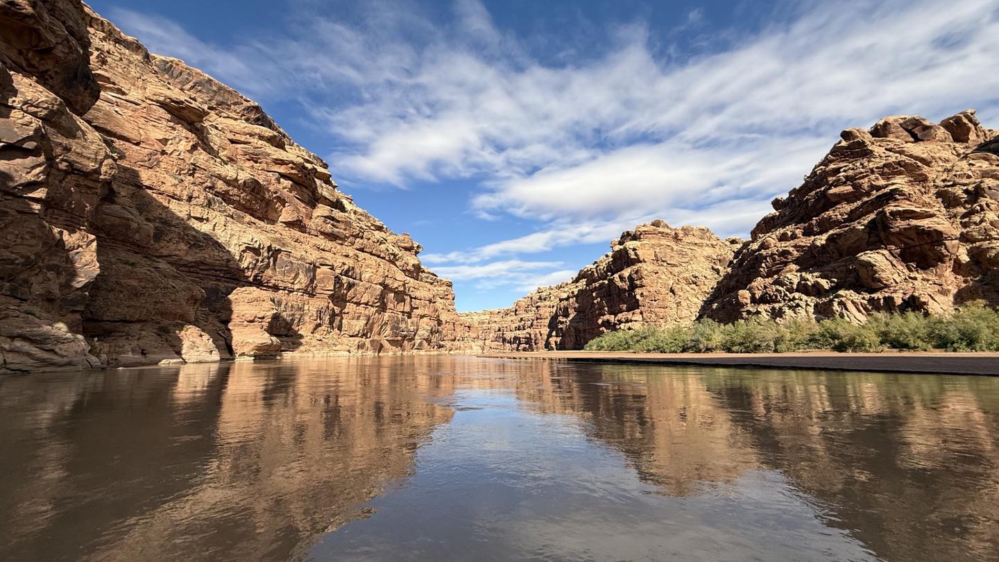
A renowned desert float through the heart of the Four Corners region, offering calm water, rich cultural history, and abundant campsites. Popular for family-friendly rafting, kayaking, and extended wilderness trips.
Snapshot
Important information for this section of river
Create An Alert For This River
Current Availability
The following dates have one or more sites available
| S | M | T | W | T | F | S |
|---|---|---|---|---|---|---|
| S | M | T | W | T | F | S |
|---|---|---|---|---|---|---|
Last checked 2 days ago
Water Level
FAQ: What's the current water level for San Juan River - Sand Island to Clay Hills?
561 CFS
Adjust the graph period to view water levels over time
Create a free account for water level trends, CFS alerts, and more.
Already have an account?
FAQ: What's the ideal range for this section of river?
800 – 20,000 CFS
Permit Details
Cancelled lottery permits for launch dates April 15, 2026 – July 15, 2026 and permits for launch dates for July 16, 2026 – December 31, 2026 are available to book at 8:00 a.m. Mountain Daylight Time on March 16
Common Questions
What paddlers most often want to know about San Juan River - Sand Island to Clay Hills.
Do I need a permit to float the San Juan River from Sand Island to Clay Hills?
Yes — a permit from Recreation.gov is required for overnight trips on the San Juan River from Sand Island to Clay Hills. Permits for spring lottery dates (April 15–July 15) and summer through fall dates (July 16 onward) become available at 8:00 AM MDT on March 16 each year.
What class of rapids does the San Juan River from Sand Island to Clay Hills have?
The San Juan River through this section runs Class I–II with one notable exception at Government Rapid. The predominantly calm water makes it ideal for family-friendly multi-day trips, first-time river campers, and paddlers who want to focus on the extraordinary Four Corners cultural landscape.
How long does the San Juan River float from Sand Island to Clay Hills take?
The San Juan River from Sand Island to Clay Hills covers approximately 83 miles and is typically paddled over 5–8 days, though shorter sections are possible with shuttle arrangements at intermediate take-outs like Mexican Hat.
What cultural sites can you see along the San Juan River?
The San Juan River corridor is one of the richest archaeological landscapes in North America. Paddlers regularly see Ancestral Puebloan ruins, ancient petroglyphs, and pictograph panels along the canyon walls — highlights include the Butler Wash panel and numerous cliff dwellings accessible by short hikes.
When is the best time to float the San Juan River?
Spring (April–June) offers the highest flows and best rapids, while fall (September–October) brings pleasant temperatures and fewer crowds. Summer trips are warm and popular; desert temperatures in the canyon can be extreme in July and August.
Weather Forecast
What's the daily forecast at the put-in for San Juan River - Sand Island to Clay Hills?