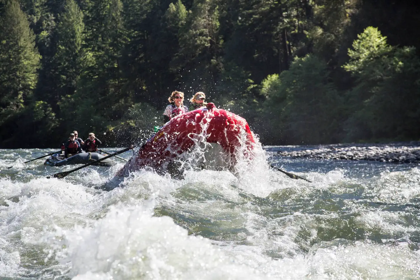
Rivers
Explore Rivers
Browse whitewater rivers and get automated alerts when flow, weather, and permit conditions are perfect.
Filter by State:
Arkansas River - The Narrows
246 CFS
Bighorn Sheep Canyon
304 CFS
Browns Canyon
165 CFS
Bruneau River
42 CFS
Cache la Poudre - Lower Mishawaka
No flow data
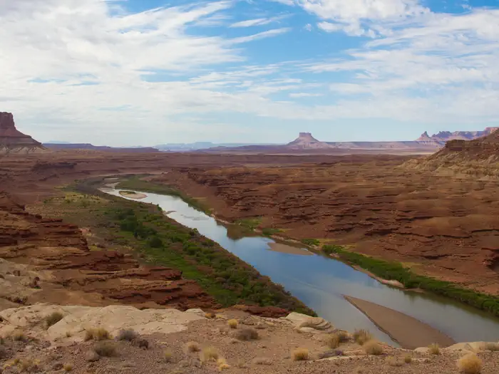
Cataract Canyon
4,230 CFS
Clear Creek - Intermediate Section
93 CFS
Desolation and Gray Canyons
2,220 CFS
Dolores River - Big Gypsum Valley to Bedrock
13 CFS
Dolores River - Gateway to Dewey Bridge
No flow data
Dolores River - Ponderosa Gorge
137 CFS
Eagle River
3 CFS
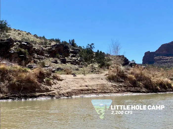
Gates of Lodore
1,400 CFS
Glenwood Canyon
No flow data
Grand Canyon - Lee's Ferry to Diamond Creek
8,070 CFS
Gunnison Gorge
258 CFS
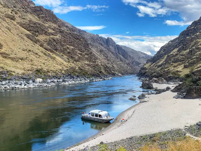
Hells Canyon on the Snake River
16,200 CFS
Jarbidge River
6 CFS

John Day River
75 CFS
Labyrinth and Stillwater Canyons
No flow data
Lochsa River
No flow data
Lower Animas River (Oxbow to Santa Rita)
195 CFS
Lower Deschutes River
3,720 CFS

Lower Salmon River
6,970 CFS
Main Payette - Banks to Beehive Bend
3,120 CFS

Main Salmon River
6,950 CFS
Middle Fork Payette - Nozzle Section
155 CFS
Middle Fork Salmon River
1,070 CFS
North Fork Payette - Cabarton to Smith's Ferry
No flow data
North Fork Payette - Smith's Ferry to Banks
No flow data
Northgate Canyon on the North Platte
109 CFS
Owyhee River - Upper Section
75 CFS
Payette River: Beehive Bend
No flow data
Payette River: Chief Parrish
No flow data
Payette River: Confluence
No flow data
Payette River: Deer Creek
No flow data
Payette River: South Fork
No flow data

Rio Chama River
489 CFS
Roaring Fork River
405 CFS
Rogue River Wild Section
1,170 CFS
Royal Gorge
246 CFS
Ruby-Horsethief Canyon
1,830 CFS
Salmon River - Sunbeam Section
166 CFS
Salmon River - Yankee Fork to Clayton
842 CFS
Salt River Canyon
1,220 CFS
San Juan River - Sand Island to Clay Hills
552 CFS
Selway River
1,840 CFS
Snake River - Hagerman Section
5,820 CFS
Snake River - Murtaugh Section
5,820 CFS
South Fork Payette - Danskin Station to Banks
652 CFS
South Fork Payette - Grandjean to Lowman
659 CFS
South Fork Salmon River
224 CFS
Split Mountain Daily
No flow data
The Numbers
92 CFS
Upper Animas - Needleton Section
195 CFS
Upper Colorado River (Pumphouse to Radium)
1,090 CFS
Upper Piedra River
18 CFS
Upper San Miguel River (Bilk to Caddis)
80 CFS
Verde River - Beasley Flats to Childs
59 CFS
Westwater Canyon
1,830 CFS
Yampa River
53 CFS
Browse by State
Jump directly to state-specific river listings with detailed information and local conditions.